J.M.W. Turner: Sketchbooks, Drawings and Watercolours

ISBN 978-1-84976-386-8

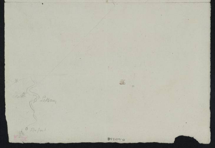
Joseph Mallord William Turner Sketch Map of the River Severn between Ledbury and Hereford ?1793

Joseph Mallord William Turner 1775–1851
Sketch Map of the River Severn between Ledbury and Hereford ?1793
D40268
Pencil on white laid paper, 130 x 191 mm
Inscribed by Turner in pencil ‘Colwall | Ledbury | Hereford’ on map at bottom left
Stamped in brown ink with Turner Bequest monogram below centre
Inscribed in pencil ‘D.40268’ bottom centre, upside down
Accepted by the nation as part of the Turner Bequest 1856
This very rough diagram, not mentioned in Finberg’s 1909 Turner Bequest catalogue,1 reiterates part of the sketch map on the adjacent half of the sheet (D40270), to which it is connected by a thin, straight pencil line.
For an overview of the various works on this folded sheet, see under D00153. The other side of the present section comprises both D00153 (Turner Bequest XIII H a) and D40239 (XIII H b).

Andrew Wilton
April 2012

1
See A.J. Finberg, A Complete Inventory of the Drawings of the Turner Bequest, London 1909, vol.I, p.18.

How to cite

Andrew Wilton, ‘Sketch Map of the River Severn between Ledbury and Hereford ?1793 by Joseph Mallord William Turner’, catalogue entry, April 2012, in David Blayney Brown (ed.), J.M.W. Turner: Sketchbooks, Drawings and Watercolours, Tate Research Publication, December 2012, https://www.tate.org.uk/art/research-publications/jmw-turner/joseph-mallord-william-turner-sketch-map-of-the-river-severn-between-ledbury-and-hereford-r1141171, accessed 24 April 2024.