J.M.W. Turner: Sketchbooks, Drawings and Watercolours

ISBN 978-1-84976-386-8

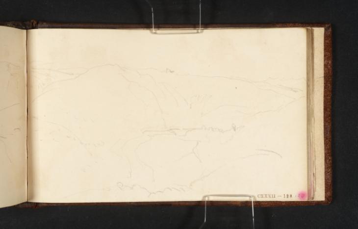
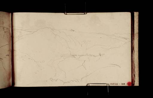
Joseph Mallord William Turner The Tamar Valley at Carthamartha and the Hills to the South 1814

Joseph Mallord William Turner 1775–1851
Folio 128 Recto:
The Tamar Valley at Carthamartha and the Hills to the South 1814
D09632
Turner Bequest CXXXII 128
Pencil on white wove paper, 90 x 152 mm
Part watermark ‘y Mill | 1812’
Inscribed by John Ruskin in red ink ‘128’ bottom right
Stamped in black ‘CXXXII – 128’ bottom right
 
Accepted by the nation as part of the Turner Bequest 1856
Diana Cook and Dorothy Kirk have identified the view on folio 127 recto (D09630) as showing Carthamartha and Bishop’s Rock on the River Tamar.1 Although they do not mention it in relation to that view, the present page appears to be a slighter repetition, perhaps from further to the north-east, and extended onto folio 127 verso opposite to show the hills in the direction of Stoke Climsland to the south. For further notes on Carthamartha see under folio 126 recto (D09628).
For other views along the Tamar Valley, see under folio 114 verso (D09606).
1
Diana Cook and Dorothy Kirk, Research/Feasibility Study for Gunnislake Turner Trail, [Gunnislake] 2001, pp.50–1; Diana Cook and Dorothy Kirk, Turner in the Tamar Valley: Following in Turner’s Footsteps along the River Tamar, Drakewalls 2009, p.55.
Verso:
Blank

Matthew Imms
June 2014

How to cite

Matthew Imms, ‘The Tamar Valley at Carthamartha and the Hills to the South 1814 by Joseph Mallord William Turner’, catalogue entry, June 2014, in David Blayney Brown (ed.), J.M.W. Turner: Sketchbooks, Drawings and Watercolours, Tate Research Publication, September 2014, https://www.tate.org.uk/art/research-publications/jmw-turner/joseph-mallord-william-turner-the-tamar-valley-at-carthamartha-and-the-hills-to-the-south-r1147181, accessed 19 April 2024.