Skip navigation
Back to menu
Main menu
What's on
Art
& Artists
The Collection
Artists
Artworks
Art by theme
Media
Videos
Podcasts
Short articles
Learning
Art Terms
Tate Research
Student resources
Art Making
Create like an artist
Kids art activities
Tate Draw game
Visit
Shop
Become a Member
DISCOVER ART
ARTISTS A-Z
ARTWORK SEARCH
ART BY THEME
VIDEOS
ART TERMS
STUDENT RESOURCES
TATE KIDS
RESEARCH
FAMILIES
ACCESSIBILITY
SCHOOLS
PRIVATE TOURS
Search this site
Become a Member
Search this site
All
(181,422)
Artist
(5,732)
Artworks
(79,211)
Exhibitions and Events
(5,484)
Displays
(366)
Archive Items
(80,637)
Audio
(1,592)
In Depth
(3,248)
Visit
(34)
Refine your search
Artist
Artist
Appointment venue
Appointment venue
Room
Room
Subject
Subject
Group
Group
Location
Location
Key attributes
Key attributes
With an image
With Creative Commons
On display at
On display at
All Tate galleries
Tate Britain
Tate Modern
Tate Liverpool
Tate St Ives
Barbara Hepworth Museum and Sculpture Garden
Type
Type
miscellaneous
block for printing
installation
on paper, print
on paper, unique
painting
relief
sculpture
frame
time-based media
Go
Go
Showing
1
–
20
of 56 results
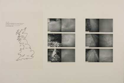
Untitled
Richard Long CBE
1967
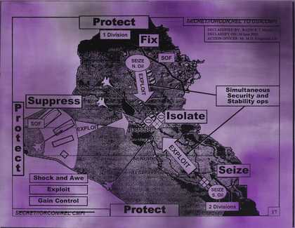
Protect Protect
Jenny Holzer
2007
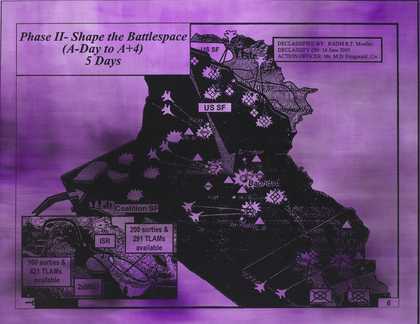
Shape the Battlespace
Jenny Holzer
2007
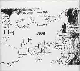
Map of Eastern U.S.S.R. Missile Bases
Andy Warhol
c.1985–6
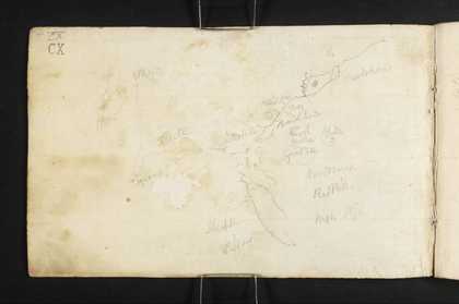
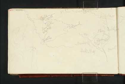
Sketch Map of Ennerdale and Surroundings, with Notes (Inscriptions by Turner)
Joseph Mallord William Turner
1809
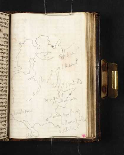
Sketch Map of Poole Harbour and the Isle of Purbeck
Joseph Mallord William Turner
1811
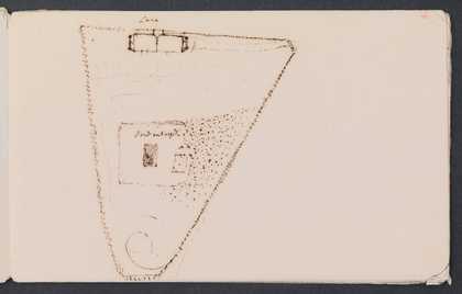
A Speculative Plan of the House and Grounds at Sandycombe Lodge, Twickenham
Joseph Mallord William Turner
c.1809–11
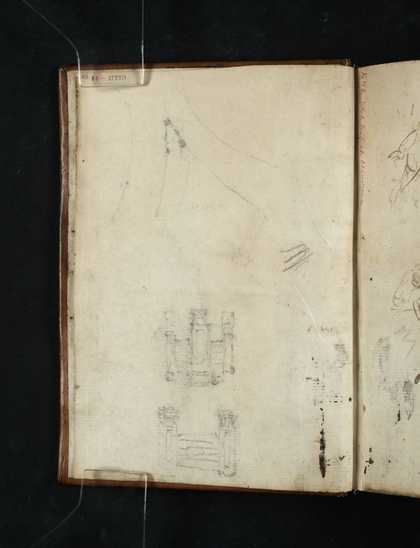
Pillars and a Ground Plan
Joseph Mallord William Turner
c.1815–17
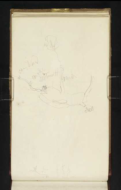
Sketch Map of North-West and Central Yorkshire
Joseph Mallord William Turner
c.1816
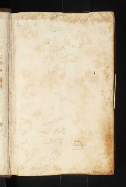
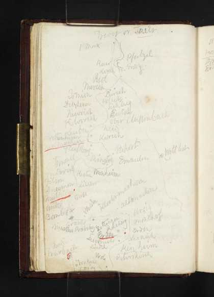
Sketch Map of the Meuse between Mouzon and Sedan; List of Distances between Northern French and Belgian Towns
Joseph Mallord William Turner
1824
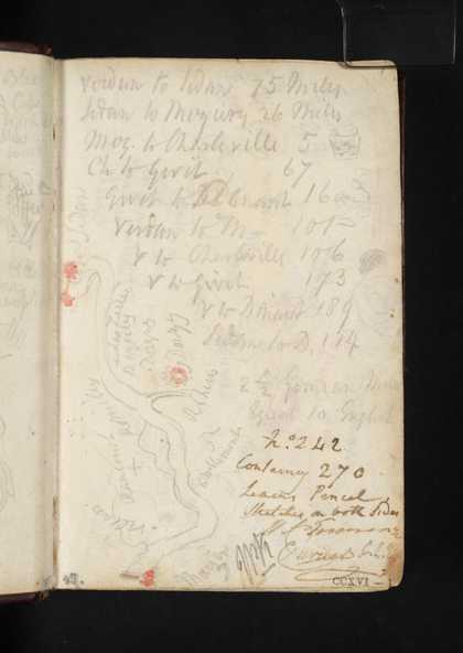
Sketch Map of the Meuse between Sedan and Fumay
Joseph Mallord William Turner
1824
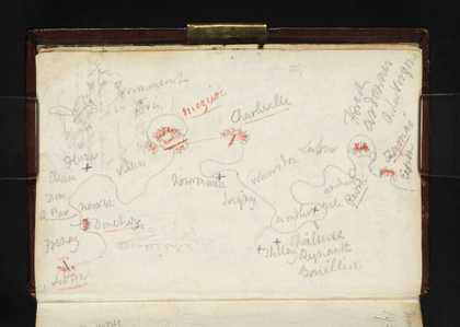
Sketch Map of the Meuse between Givet and Dinant; Part of a Fort
Joseph Mallord William Turner
1824
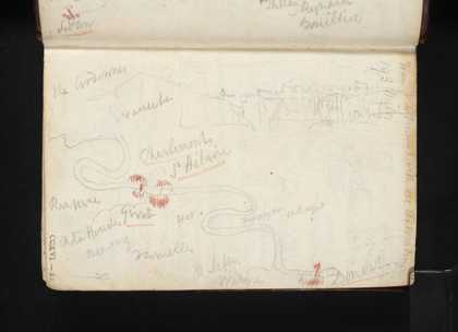
Sketch Maps of the Meuse between Huy and Liège, and Liège and Maastricht; Sedan
Joseph Mallord William Turner
1824
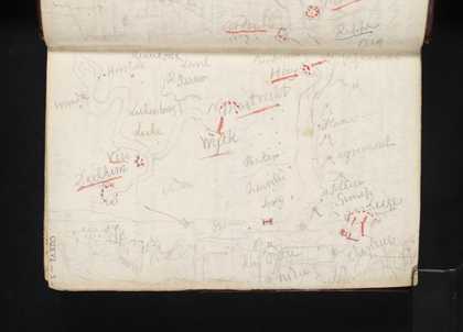
Sketch Map of Moselle between Trier (Trèves) and Traben-Trarbach
Joseph Mallord William Turner
1824
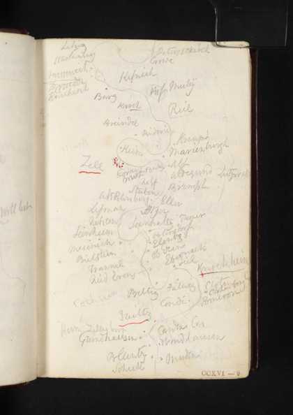
Sketch Map of the Moselle between the Starkenburg and Müden
Joseph Mallord William Turner
1824
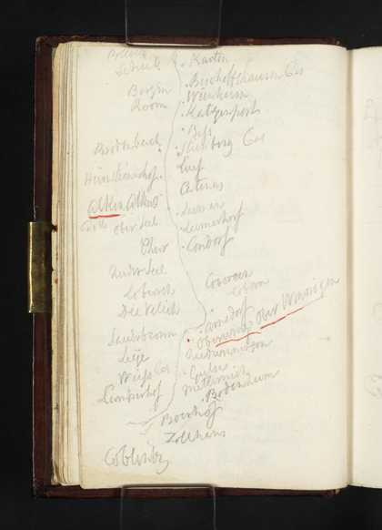
Sketch Map of the Moselle from Burg Bischofstein to Koblenz
Joseph Mallord William Turner
1824
Birmingham from the South-West; with a Sketch map
Joseph Mallord William Turner
1830
?Peak District Hills or a Cave, Perhaps Peak Cavern, Castleton; Sketch Map of the Peak District
Joseph Mallord William Turner
?1831
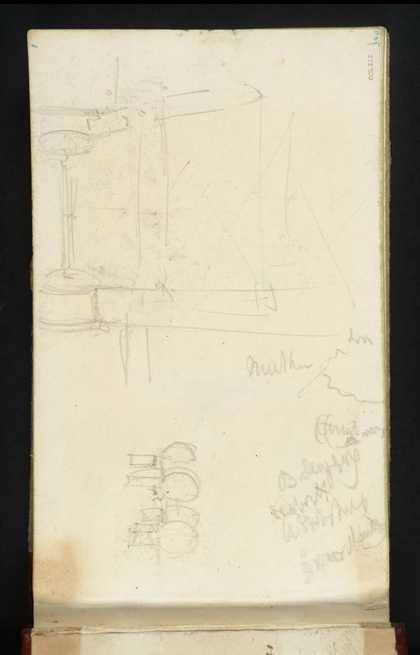
Diagrams or Sketches of Machinery; and a Sketch Map
Joseph Mallord William Turner
1834
Sketch-map and Sketch of the Sonnenburg
Joseph Mallord William Turner
1839
Pagination
1
2
3
Next page
Close