J.M.W. Turner: Sketchbooks, Drawings and Watercolours

ISBN 978-1-84976-386-8

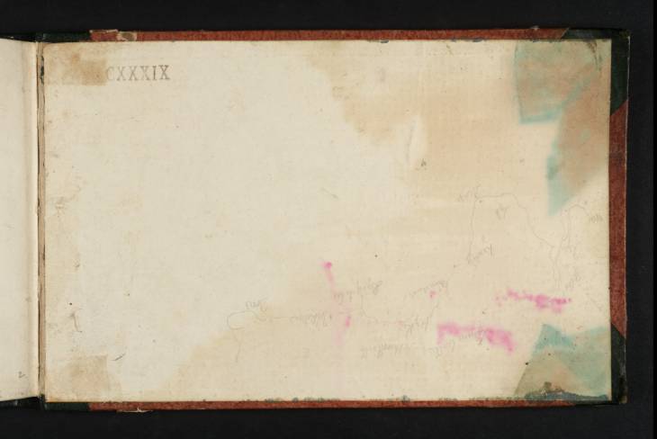
Joseph Mallord William Turner Sketch Map of the Coast from Winchelsea to Dover c.1816-18

Joseph Mallord William Turner 1775–1851
Inside Back Cover:
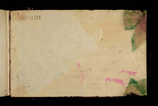
Sketch Map of the Coast from Winchelsea to Dover circa 1816–18
D40834
Turner Bequest
Pencil on white wove paper, 129 x 205 mm
Inscribed by Turner in pencil (see main catalogue entry)
Stamped in black ‘CXXXIX’ bottom right, inverted
 
Accepted by the nation as part of the Turner Bequest 1856
This is a rough map, inscribed with place names. From left to right these are ‘Win[chelsea] Rye Playden Appledore Lyd[d] Romney Dunge[ness] Limne [Lympne] Castle Dimchurch [sic; Dymchurch] Hythe Saltwood Castle Sandgate Castle Folkestone Dover’.

David Blayney Brown
May 2011

How to cite

David Blayney Brown, ‘Sketch Map of the Coast from Winchelsea to Dover c.1816–18 by Joseph Mallord William Turner’, catalogue entry, May 2011, in David Blayney Brown (ed.), J.M.W. Turner: Sketchbooks, Drawings and Watercolours, Tate Research Publication, December 2012, https://www.tate.org.uk/art/research-publications/jmw-turner/joseph-mallord-william-turner-sketch-map-of-the-coast-from-winchelsea-to-dover-r1131637, accessed 26 April 2024.