J.M.W. Turner: Sketchbooks, Drawings and Watercolours

ISBN 978-1-84976-386-8

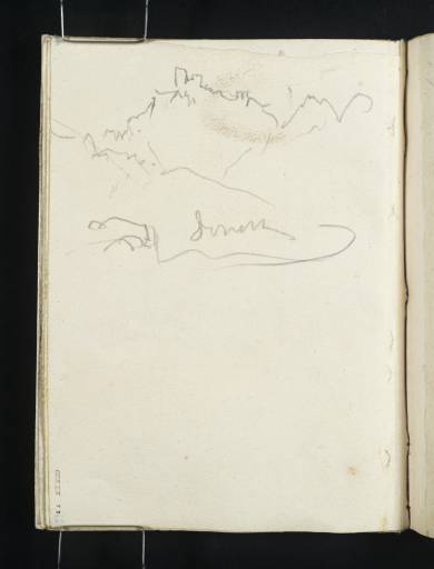
Joseph Mallord William Turner Castle on a Rocky Summit along the Rhône Valley 1828

Folio 73 Recto:
Castle on a Rocky Summit along the Rhône Valley 1828
D21127
Turner Bequest CCXXX 72
Pencil on cream lined wove paper, 145 x 111 mm
Inscribed in pencil by Turner ‘[?Serve]’ above centre
Inscribed in blue ink by John Ruskin ‘72’ bottom left, upside down, and ‘4’ top left, upside down
Stamped in black ‘CCXXX 72’ bottom left, descending vertically
 
Accepted by the nation as part of the Turner Bequest 1856
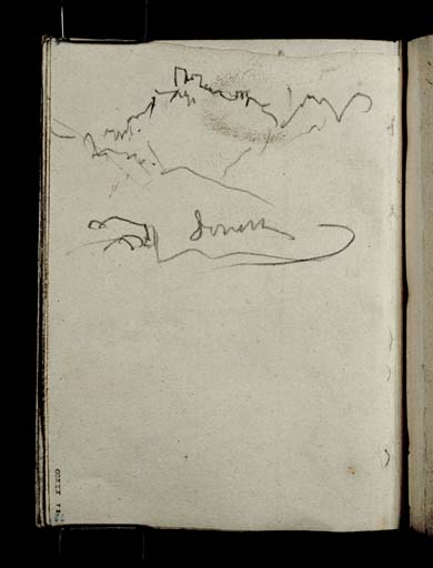
Executed with the sketchbook turned upside down, this study of a castle on a rocky summit is too slight to be conclusively identified, although the geographer and Turner researcher Roland Courtot has tentatively suggested the village of Le Castellet, between Marseille and Toulon.1
Alternatively, if the inscription is read as ‘Serve’, the curve may represent a river rather than a road; Turner passed the castle at Serves-sur-Rhône as he journeyed by boat along the Rhône from Lyon to Avignon. This identification, if accurate, would place the study outside of the geographical itinerary embodied by the sketchbook. Further studies of Serves-sur-Rhône appear on folios 12 verso and 13 recto (D21013–D21014).

Hannah Kaspar
March 2024

1
Roland Courtot, ‘6. Le carnet du voyage de Turner de Lyon à Marseille (CCXXX)(3)’, Carnets de voyage de Turner, accessed 29 January 2024, https://carnetswt.hypotheses.org/528.

How to cite

Hannah Kaspar, ‘Castle on a Rocky Summit along the Rhône Valley 1828’, catalogue entry, March 2024, in David Blayney Brown (ed.), J.M.W. Turner: Sketchbooks, Drawings and Watercolours, Tate Research Publication, February 2025, https://www.tate.org.uk/art/research-publications/jmw-turner/castle-on-a-rocky-summit-along-the-rhone-valley-r1209787, accessed 08 May 2025.