J.M.W. Turner: Sketchbooks, Drawings and Watercolours

ISBN 978-1-84976-386-8

Joseph Mallord William Turner Waterloo: Diagram of the Disposition of British Forces, with the Roads Leading Northwards to Brussels, Hougoumont and La Haye Sainte; Hougoumont 1817

Folio 23 Recto:
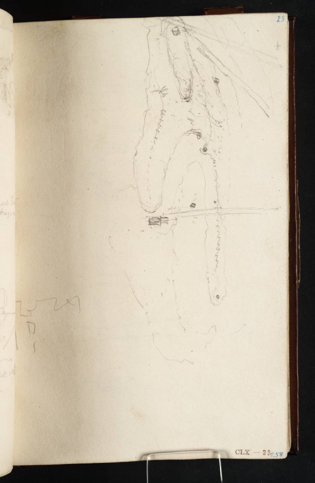
Waterloo: Diagram of the Disposition of British Forces, with the Roads Leading Northwards to Brussels, Hougoumont and La Haye Sainte; Hougoumont 1817
D12744
Turner Bequest CLX 23
Pencil on white wove paper, 150 x 94 mm
Inscribed by John Ruskin in blue ink ‘258’ bottom right, and ‘23’ top right
Stamped in black ‘CLX – 23’ bottom right
 
Accepted by the nation as part of the Turner Bequest 1856
For Turner at Waterloo in 1817 see Introduction to this sketchbook and notes to folio 16 verso (D12731).
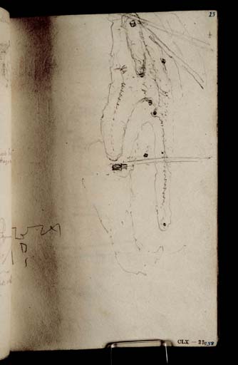
Most of this page is occupied by a diagram, part landscape, part map, of the field of Waterloo with the roads running north past the British lines. Below to the left is a slight extension of the sketch of the ‘side wall’ of the château of Hougoumont at the bottom of folio 22 verso opposite (D12743).
Verso:
Blank

David Blayney Brown
June 2025

How to cite

David Blayney Brown, ‘Waterloo: Diagram of the Disposition of British Forces, with the Roads Leading Northwards to Brussels, Hougoumont and La Haye Sainte; Hougoumont 1817’, catalogue entry, June 2025, in David Blayney Brown (ed.), J.M.W. Turner: Sketchbooks, Drawings and Watercolours, Tate Research Publication, June 2026, https://www.tate.org.uk/art/research-publications/jmw-turner/waterloo-diagram-of-the-disposition-of-british-forces-with-the-roads-leading-northwards-to-r1212112, accessed 31 July 2026.