Turner Bequest CCLXXXVIII 1–68a
Sketchbook half-bound in boards covered with brown leather and dark blue mottled paste paper. Front and back covers have vertical edging of brown leather, extending from head to tail and beyond the joint for approximately 15 mm.
Front cover has vertical edging of brown leather of approximately 8 mm on right side of board. There is also an inside pouch with gussets on front cover, made from pieces of vellum previously belonging to a medieval-looking manuscript ruled with red lines and inscribed with black ink.
Back cover has corners of brown leather.
Inscribed by Turner in black ink ‘2’ on brown leather vertical edging of back cover; and inscribed in black ink ‘II’ on head of text block.
Inscribed in black ink ‘great Fortress’ by Ruskin on brown leather vertical edging of back cover.
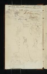
Signed by Charles Turner and H.S. Trimmer in black ink and inscribed ‘No 183 This book contains 64 leaves | drawn on both sides’; signed in pencil by Charles Locke Eastlake ‘C.L.E.’ and John Prescott Knight ‘JPK’ at top of paste-down on inside front cover
Blind stamped with ‘CCLXXXVIII’ on front cover at top right
Stamped in black with ‘CCLXXXVIII’ inside front cover at top left
Inscribed with ‘CCLXXXVIII’ | 594 inside front cover at top right
68 leaves of cream laid writing paper with front and rear paste-downs of similar paper
Watermarked Pro Patria with a G rather than a Gate (probably of Dutch manufacture)
Approximate size of page 168 x 101 mm
Front cover has vertical edging of brown leather of approximately 8 mm on right side of board. There is also an inside pouch with gussets on front cover, made from pieces of vellum previously belonging to a medieval-looking manuscript ruled with red lines and inscribed with black ink.
Back cover has corners of brown leather.
Inscribed by Turner in black ink ‘2’ on brown leather vertical edging of back cover; and inscribed in black ink ‘II’ on head of text block.
Inscribed in black ink ‘great Fortress’ by Ruskin on brown leather vertical edging of back cover.
Signed by Charles Turner and H.S. Trimmer in black ink and inscribed ‘No 183 This book contains 64 leaves | drawn on both sides’; signed in pencil by Charles Locke Eastlake ‘C.L.E.’ and John Prescott Knight ‘JPK’ at top of paste-down on inside front cover
Blind stamped with ‘CCLXXXVIII’ on front cover at top right
Stamped in black with ‘CCLXXXVIII’ inside front cover at top left
Inscribed with ‘CCLXXXVIII’ | 594 inside front cover at top right
68 leaves of cream laid writing paper with front and rear paste-downs of similar paper
Watermarked Pro Patria with a G rather than a Gate (probably of Dutch manufacture)
Approximate size of page 168 x 101 mm
Accepted by the nation as part of the Turner Bequest 1856
Exhibition history
References
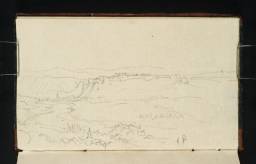
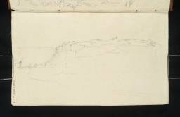
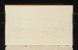
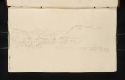
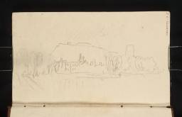
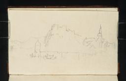
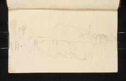
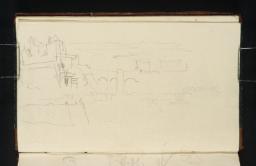
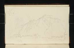
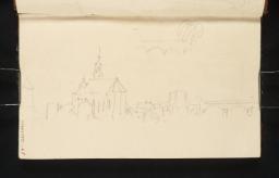
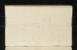
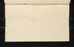
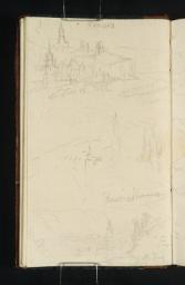
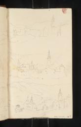
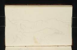
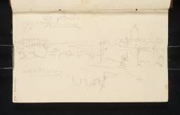
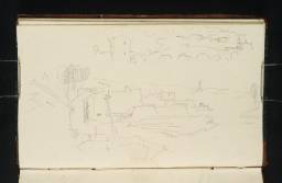
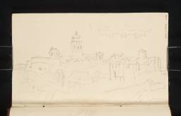
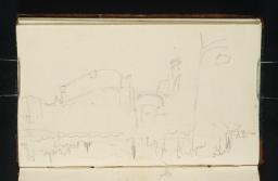
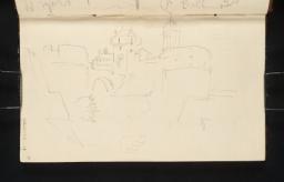
This is the second of the five sketchbooks Turner used in the summer of 1839 and records his peregrinations along the Meuse in north-eastern France, Luxembourg, and west Germany. Towns and villages depicted include: Givet, Luxembourg, Mézières, Metz, Sedan, Thionville, Trèves and Verdun. For more information on this leg of the trip see the general Introduction ‘Itinerary’ section.
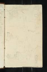
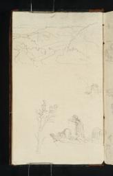
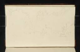
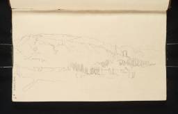
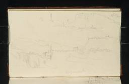
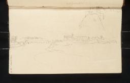
As Cecilia Powell points out, this sketchbook ‘well deserves the name written on it in ink by Ruskin, “great Fortress”, since it is exclusively concerned with the fortified towns of the upper Meuse’ and their surrounding topographies.1 Rough and swiftly wrought sketches in landscape format predominate, taken from various angles and perspectives and showing the region’s vast fortresses built into and atop rocky cliffs or ‘constructed between the whiplash meanders of much-winding rivers’.2
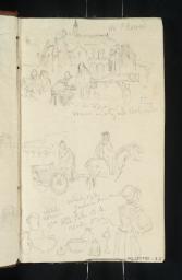
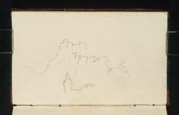
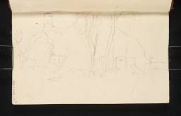
The Grand Duchy of Luxembourg, located at the confluence of the Alzette and Pétrusse Rivers in the south of the country, was the largest of the fortified towns recorded by Turner in this sketchbook. The city’s myriad and multipart fortresses, built perpendicularly to the cliffs of three vertiginous plateaux (the Bock, the Rham and the Grunewald), provided ample stimulation for sketching excursions and feature heavily towards the end of the sketchbook (Tate D28266- D28288; Turner Bequest CCLXXXVIII 56 a–67 a). There are also a small number of quickly wrought jottings of figures, people presumably encountered by the artist in town squares and on the road throughout this leg of the tour (see inside front cover and Tate D28168–D28169; Turner Bequest CCLXXXVIII 1 a–2).
-
 Joseph Mallord William TurnerGivet, Mézières, Verdun, Metz, Luxemburg and Trèves SketchbookD41087
 -
 Joseph Mallord William TurnerGivet, Mézières, Verdun, Metz, Luxemburg and Trèves SketchbookD28167
 -
 Joseph Mallord William TurnerGivet, Mézières, Verdun, Metz, Luxemburg and Trèves SketchbookD28168
 -
 Joseph Mallord William TurnerGivet, Mézières, Verdun, Metz, Luxemburg and Trèves SketchbookD28169
 -
 Joseph Mallord William TurnerGivet, Mézières, Verdun, Metz, Luxemburg and Trèves SketchbookD28170
 -
 Joseph Mallord William TurnerGivet, Mézières, Verdun, Metz, Luxemburg and Trèves SketchbookD28171
 -
 Joseph Mallord William TurnerGivet, Mézières, Verdun, Metz, Luxemburg and Trèves SketchbookD28172
 -
 Joseph Mallord William TurnerGivet, Mézières, Verdun, Metz, Luxemburg and Trèves SketchbookD28173
 -
 Joseph Mallord William TurnerGivet, Mézières, Verdun, Metz, Luxemburg and Trèves SketchbookD28174
 -
 Joseph Mallord William TurnerGivet, Mézières, Verdun, Metz, Luxemburg and Trèves SketchbookD28175
 -
 Joseph Mallord William TurnerGivet, Mézières, Verdun, Metz, Luxemburg and Trèves SketchbookD28176
 -
 Joseph Mallord William TurnerGivet, Mézières, Verdun, Metz, Luxemburg and Trèves SketchbookD28177
 -
 Joseph Mallord William TurnerGivet, Mézières, Verdun, Metz, Luxemburg and Trèves SketchbookD28178
 -
 Joseph Mallord William TurnerGivet, Mézières, Verdun, Metz, Luxemburg and Trèves SketchbookD28179
 -
 Joseph Mallord William TurnerGivet, Mézières, Verdun, Metz, Luxemburg and Trèves SketchbookD28180
 -
 Joseph Mallord William TurnerGivet, Mézières, Verdun, Metz, Luxemburg and Trèves SketchbookD28181
 -
 Joseph Mallord William TurnerGivet, Mézières, Verdun, Metz, Luxemburg and Trèves SketchbookD28182
 -
 Joseph Mallord William TurnerGivet, Mézières, Verdun, Metz, Luxemburg and Trèves SketchbookD28183
 -
 Joseph Mallord William TurnerGivet, Mézières, Verdun, Metz, Luxemburg and Trèves SketchbookD28184
 -
 Joseph Mallord William TurnerGivet, Mézières, Verdun, Metz, Luxemburg and Trèves SketchbookD28185
 -
 Joseph Mallord William TurnerGivet, Mézières, Verdun, Metz, Luxemburg and Trèves SketchbookD28186
 -
 Joseph Mallord William TurnerGivet, Mézières, Verdun, Metz, Luxemburg and Trèves SketchbookD28187
 -
 Joseph Mallord William TurnerGivet, Mézières, Verdun, Metz, Luxemburg and Trèves SketchbookD28188
 -
 Joseph Mallord William TurnerGivet, Mézières, Verdun, Metz, Luxemburg and Trèves SketchbookD28189
 -
 Joseph Mallord William TurnerGivet, Mézières, Verdun, Metz, Luxemburg and Trèves SketchbookD28190
 -
 Joseph Mallord William TurnerGivet, Mézières, Verdun, Metz, Luxemburg and Trèves SketchbookD28191
 -
 Joseph Mallord William Turner?Mézières 1839Givet, Mézières, Verdun, Metz, Luxemburg and Trèves SketchbookD28192
 -
 Joseph Mallord William TurnerGivet, Mézières, Verdun, Metz, Luxemburg and Trèves SketchbookD28193
 -
 Joseph Mallord William TurnerGivet, Mézières, Verdun, Metz, Luxemburg and Trèves SketchbookD28194
 -
 Joseph Mallord William TurnerGivet, Mézières, Verdun, Metz, Luxemburg and Trèves SketchbookD28195
How to cite
Alice Rylance-Watson, ‘Givet, Mézières, Verdun, Metz, Luxembourg and Trèves Sketchbook 1839’, sketchbook, June 2013, in David Blayney Brown (ed.), J.M.W. Turner: Sketchbooks, Drawings and Watercolours, Tate Research Publication, November 2014, https://www