Joseph Mallord William Turner The Fortified Church of San Rafeu, Saint-Raphaël; a Study of a Church with a Tower 1838
Image 1 of 2
Joseph Mallord William Turner,
The Fortified Church of San Rafeu, Saint-Raphaël; a Study of a Church with a Tower
1838
Folio 2 Verso:
The Fortified Church of San Rafeu, Saint-Raphaël; a Study of a Church with a Tower 1838
D21274
Turner Bequest CCXXXII 2a
Pencil on white wove paper, 98 x 157 mm
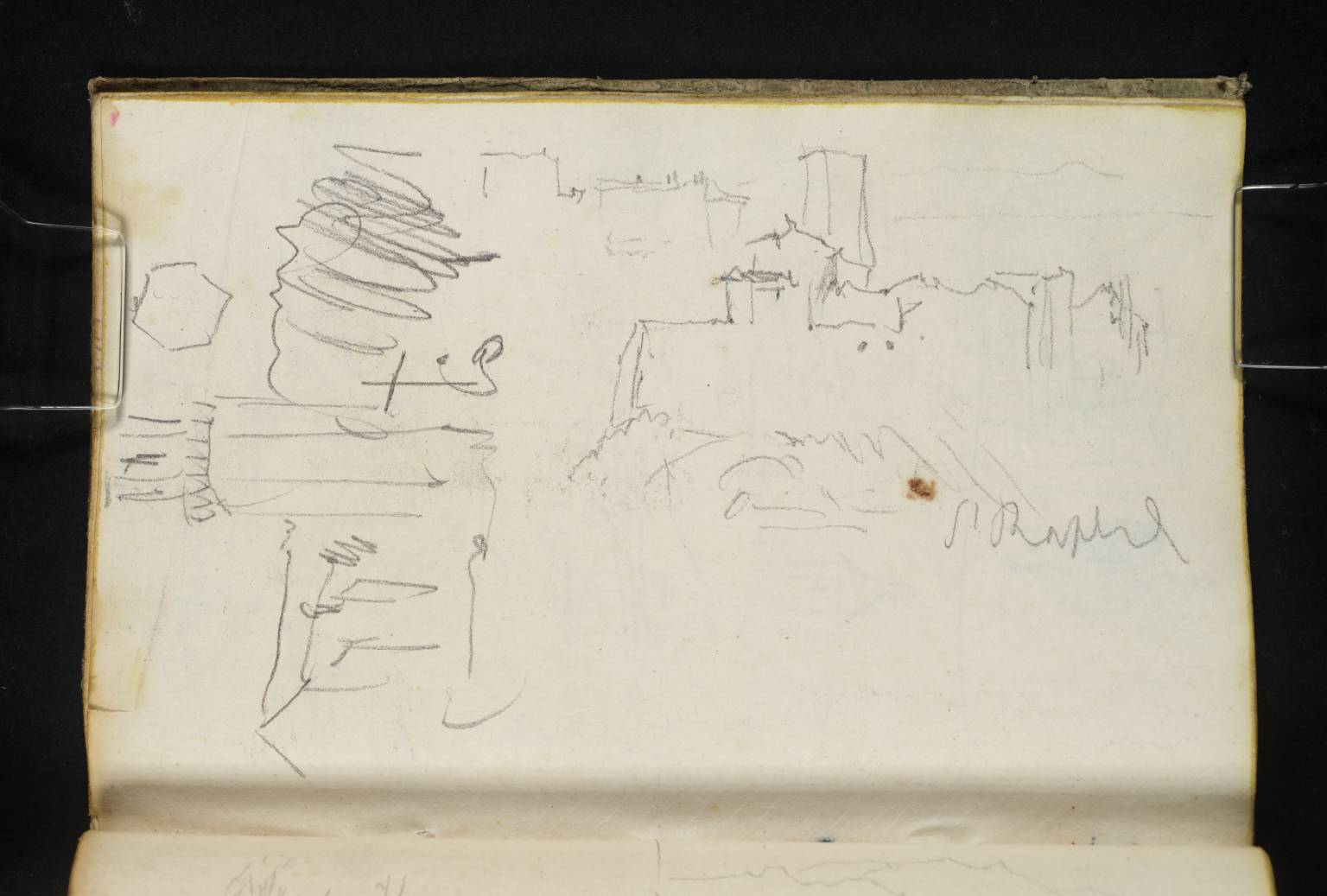
Inscribed in pencil by Turner ‘St Raphl’ centre right
Accepted by the nation as part of the Turner Bequest 1856
References
1909
A.J. Finberg, A Complete Inventory of the Drawings of the Turner Bequest, London 1909, vol.II, p.711, CCXXXII 2a, as ‘“St. Raphael.”’.
1981
Maurice Guillaud, Nicholas Alfrey, Andrew Wilton and others, Turner en France: aquarelles, peintures, dessins, gravures, carnets de croquis / Turner in France: Watercolours, Paintings, Drawings, Engravings, Sketchbooks, exhibition catalogue, Centre Culturel du Marais, Paris 1981, pp.293, 295, 296, fig.570, as ‘St. Raphael’.
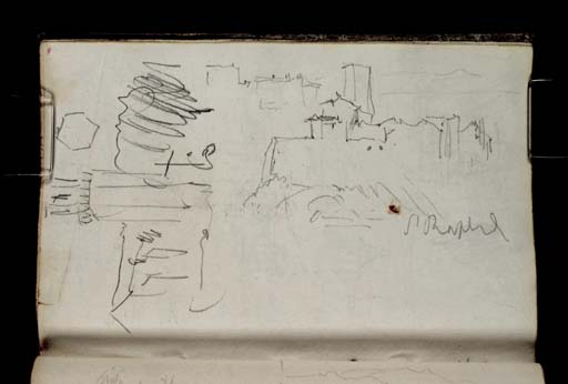
As Turner’s inscription indicates, the principal sketch on this page, executed with the book turned horizontally, shows a view of Saint-Raphaël, a small town near Fréjus on the south coast of France, situated approximately twenty-five miles south-west of Cannes. Specifically, the drawing depicts the Romanesque fortified church of San Rafeu, viewed from the north-east, as first identified by art historian Maurice Guillaud in 1981.1 The structure rises above the town, with the sea and the coastline visible beyond to the west.
A second sketch, positioned on the left and executed with the book held vertically, shows another view of a church, with its belltower and buttresses visible along the side. The subject is currently unidentified. Geographer and Turner researcher Roland Courtot identifies the drawing as an additional study of San Rafeu, but this appears to be a mistake as the architectural details depicted do not correspond to this structure.2 Above the church, Turner has drawn a hexagon, presumably as a reminder of the tower’s six-sided design.
Turner appears to have travelled inland from Toulon, the starting point of the journey described in this sketchbook, to the port of Fréjus (situated less than two miles from Saint-Raphaël), before continuing on to the city of Cannes, approximately twenty-five miles away. For an overview of Turner’s itinerary, see the Introduction to this sketchbook.
Identified by Maurice Guillaud in Guillaud, Alfrey and Wilton and others 1981, p.295, and confirmed by Geographer and Turner researcher Roland Courtot, see Roland Courtot, ‘Carnet de voyage de Turner: 9. Notebook CCXXXII “Côte de Génès” (1838?)’, Hypotheses, 24 August 2018, accessed 24 June 2024, https://carnetswt.hypotheses.org/949 .
Technical notes:
There is a small, brown stain, just above the centre of the page.
Nicola Moorby
May 2017
Revised by Hayley Flynn
June 2025
How to cite
Nicola Moorby, ‘The Fortified Church of San Rafeu, Saint-Raphaël; a Study of a Church with a Tower 1838’, catalogue entry, May 2017, revised by Hayley Flynn, June 2025, in David Blayney Brown (ed.), J.M.W. Turner: Sketchbooks, Drawings and Watercolours, Tate Research Publication, July 2026, https://www