J.M.W. Turner: Sketchbooks, Drawings and Watercolours

ISBN 978-1-84976-386-8

Joseph Mallord William Turner Two Views of Ventimiglia 1838

Folio 8 Verso:
Two Views of Ventimiglia 1838
D21286
Turner Bequest CCXXXII 8a
Pencil on white wove paper, 98 x 157 mm
 
Accepted by the nation as part of the Turner Bequest 1856
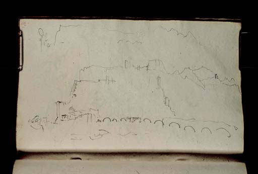
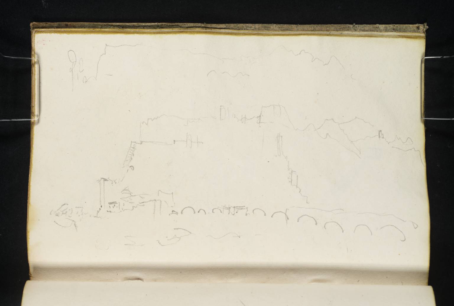
Geographer and Turner researcher Roland Courtot has identified the subject of the sketches on this page, executed with the book turned horizontally, as Ventimiglia, a town on Italy’s Ligurian coast, situated approximately four miles from the present-day border with France.1
The principal composition depicts the old town and its ramparts looking downstream from the left bank of the River Roia (or Roya, in French). The sea is discernible on the far left. Prominent in the foreground is the Via Aurelia bridge. The campanile of the Cathedral of the Assumption is visible near the centre.
At the top of the page is a second, more schematic drawing, which appears to record the same view of Ventimiglia as a simple topographical silhouette.
At the time of Turner’s visit, this region was part of the Kingdom of Piedmont-Sardinia. It marks the approximate half-way point of the journey described in this sketchbook, which begins in Toulon and ends in Genoa (for a detailed overview of Turner’s itinerary, see the Introduction). For further sketches of Ventimiglia, see folio 7 recto (D21283).

Nicola Moorby
October 2018

Revised by Hayley Flynn
June 2025

1
Roland Courtot, ‘Carnet de voyage de Turner: 9. Notebook CCXXXII “Côte de Génès” (1838?)’, Hypotheses, 24 August 2018, accessed 24 June 2024, https://carnetswt.hypotheses.org/949.

How to cite

Nicola Moorby, ‘Two Views of Ventimiglia 1838’, catalogue entry, October 2018, revised by Hayley Flynn, June 2025, in David Blayney Brown (ed.), J.M.W. Turner: Sketchbooks, Drawings and Watercolours, Tate Research Publication, July 2026, https://www.tate.org.uk/art/research-publications/jmw-turner/two-views-of-ventimiglia-r1213463, accessed 17 September 2026.