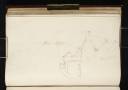
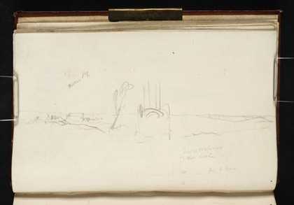
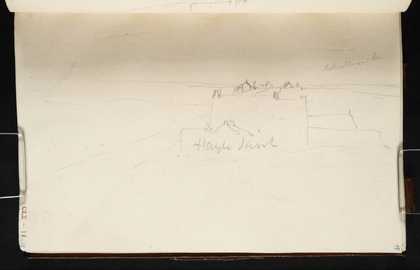
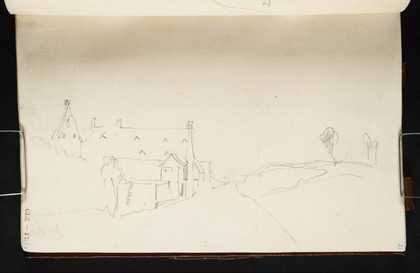
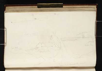
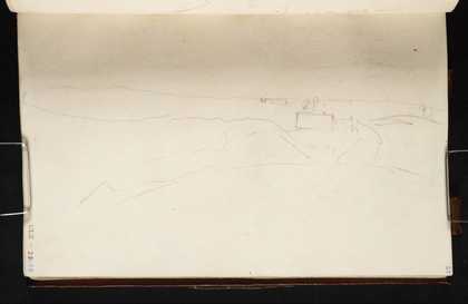
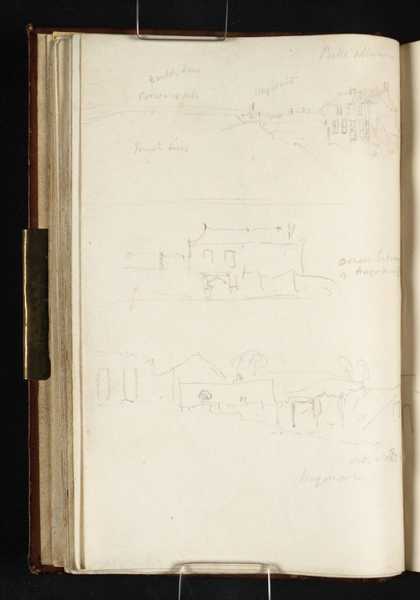
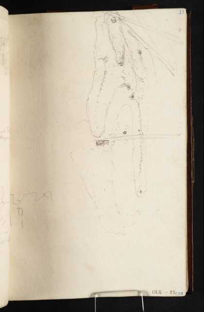
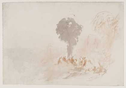
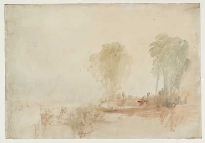
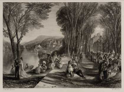
You might like Left Right La Haye Sainte, Waterloo, from the North with La Belle Alliance in the Distance Joseph Mallord William Turner ?1817 La Haye Sainte, Waterloo, from the South Joseph Mallord William Turner ?1817 The Field of Waterloo from the North, with the Gordon Monument; Diagram of the Crossroads at Waterloo Showing the Positions of the Farmhouses of La Haye Sainte and La Haye Joseph Mallord William Turner 1817 The Field of Waterloo from the North, above La Haye Sainte towards La Belle Alliance Joseph Mallord William Turner 1817 The Barn and Gate of La Haye Sainte, Waterloo, from the South and the Tree where Sir Thomas Picton Fell Joseph Mallord William Turner 1817 Waterloo: Diagram of the Disposition of British Forces; La Haye Sainte from the South and the Tree where Sir Thomas Picton Fell Joseph Mallord William Turner 1817 The Field of Waterloo and La Haye Sainte from the French Position to the South Joseph Mallord William Turner 1817 Three Sketches of Waterloo: The Battlefield and La Belle Alliance from the South; Two Views of Hougoumont Joseph Mallord William Turner 1817 Waterloo: Diagram of the Disposition of British Forces, with the Roads Leading Northwards to Brussels, Hougoumont and La Haye Sainte; Hougoumont Joseph Mallord William Turner 1817 Palace of La Belle Gabrielle Joseph Mallord William Turner c.1829–32 Palace of La Belle Gabrielle Joseph Mallord William Turner c.1829–32 Palace of La Belle Gabrielle After Joseph Mallord William Turner 1834