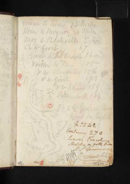
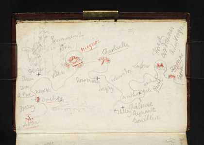
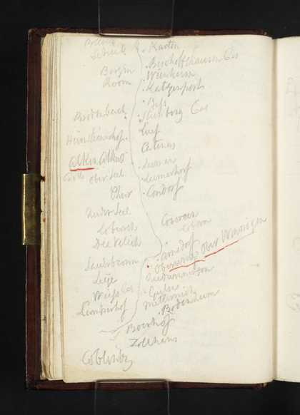
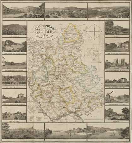
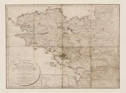
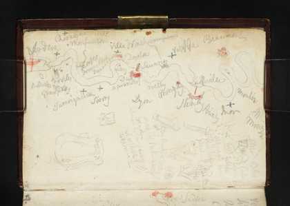
You might like Left Right Sketch Map of the Meuse between Mouzon and Sedan; List of Distances between Northern French and Belgian Towns Joseph Mallord William Turner 1824 Sketch Map of the Meuse between Sedan and Fumay Joseph Mallord William Turner 1824 Sketch Map of the Moselle from Burg Bischofstein to Koblenz Joseph Mallord William Turner 1824 Boats off Portsmouth; a Diagram or Sketch Map Joseph Mallord William Turner 1827 Birmingham from the South-West; with a Sketch map Joseph Mallord William Turner 1830 Various Sketches Joseph Mallord William Turner 1831 Diagram Joseph Mallord William Turner c.1830–41 Diagram Joseph Mallord William Turner c.1830–41 Turner’s Map of the Duchy of Nassau: Das Herzogthum Nassau, engraved by Friedrich Wimmer Joseph Mallord William Turner c.1830–41 ‘Carte Itinéraire de la Bretagne’: with Inscriptions by Turner and Sketches of Saint Mal, Dinan and Breton Peasants Joseph Mallord William Turner 1826 Sketch Map of the Meuse between Verdun and Mouzon; Other Notes and Sketches Joseph Mallord William Turner 1824 Sketch Map of the Coast from Winchelsea to Dover Joseph Mallord William Turner c.1816–18