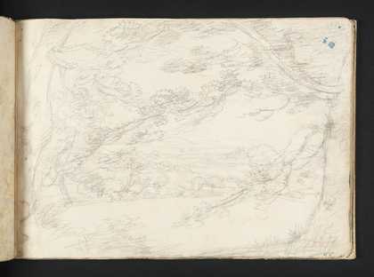
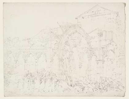
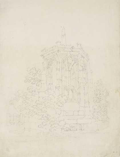
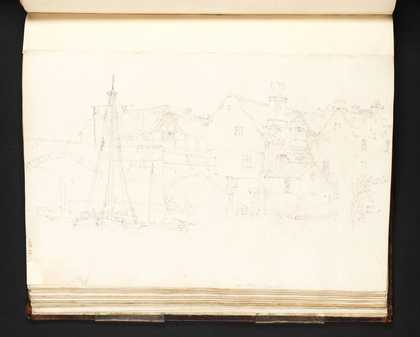
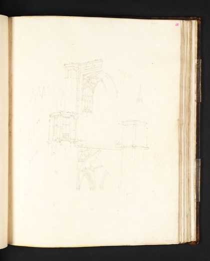
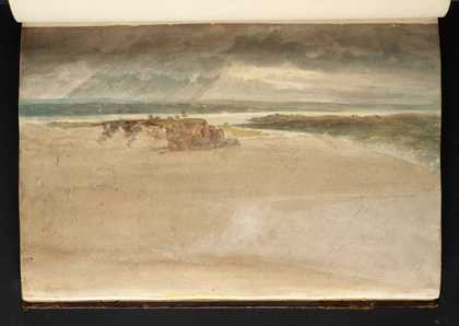
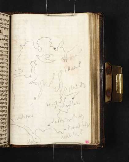
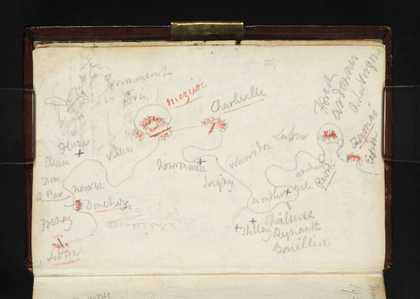
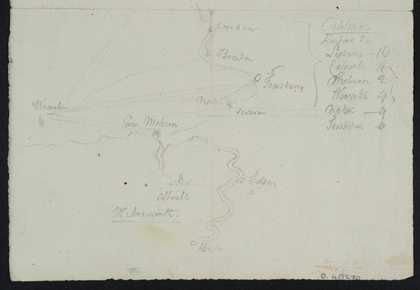
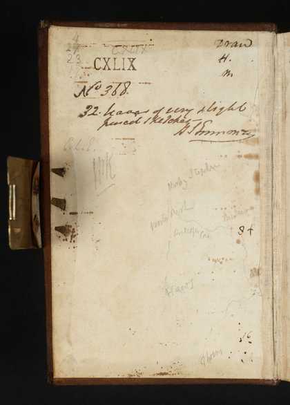
You might like Left Right View Between Trees and Across Fields Towards the River Severn, with Distant Hills Joseph Mallord William Turner 1791 The Ruined Chapter House, Hereford Cathedral Joseph Mallord William Turner 1793 The Blackfriars’ Cross, Hereford Joseph Mallord William Turner ?1793 Hereford: The Wye Bridge Joseph Mallord William Turner 1795 Hereford Cathedral: The North Porch Joseph Mallord William Turner 1795 Panoramic View of the Junction of the Rivers Severn and Wye Joseph Mallord William Turner 1798 Sketch Map of Ennerdale and Surroundings, with Notes (Inscriptions by Turner) Joseph Mallord William Turner 1809 Sketch Map of Poole Harbour and the Isle of Purbeck Joseph Mallord William Turner 1811 Sketch Map of North-West and Central Yorkshire Joseph Mallord William Turner c.1816 Sketch Map of the Meuse between Sedan and Fumay Joseph Mallord William Turner 1824 Sketch Map of Roads and Towns near Malvern Joseph Mallord William Turner ?1793 Sketch Map of North-West and Central Yorkshire; Executors’ Endorsements Joseph Mallord William Turner c.1816