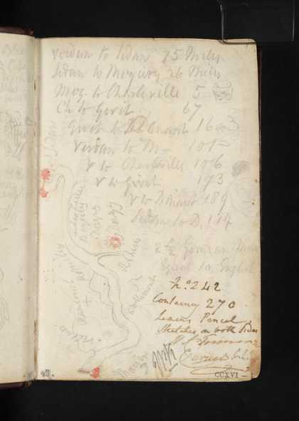
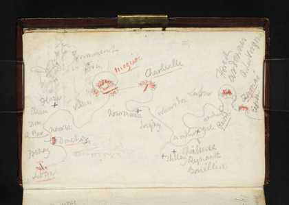
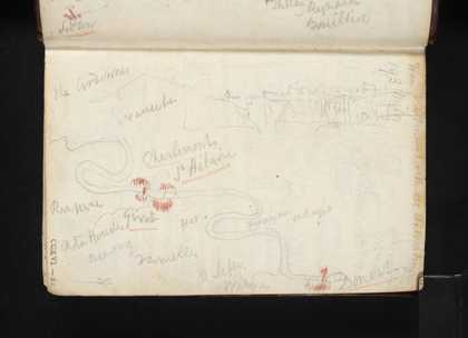
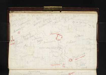
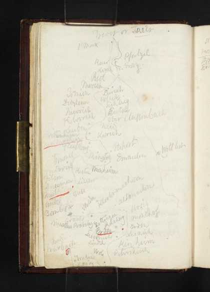
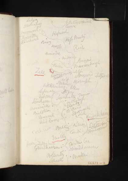
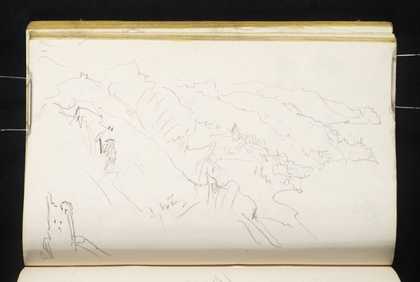
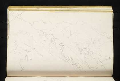
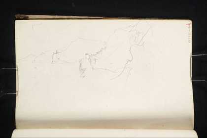
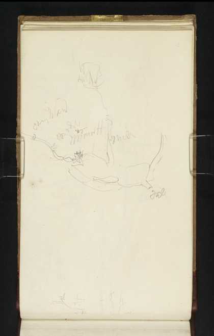
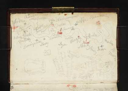
You might like Left Right Sketch Map of the Meuse between Mouzon and Sedan; List of Distances between Northern French and Belgian Towns Joseph Mallord William Turner 1824 Sketch Map of the Meuse between Sedan and Fumay Joseph Mallord William Turner 1824 Sketch Map of the Meuse between Givet and Dinant; Part of a Fort Joseph Mallord William Turner 1824 Sketch Map of the Meuse between Dinant and Andenne; Landscape Sketches Joseph Mallord William Turner 1824 Sketch Map of Moselle between Trier (Trèves) and Traben-Trarbach Joseph Mallord William Turner 1824 Sketch Map of the Moselle between the Starkenburg and Müden Joseph Mallord William Turner 1824 Finale Ligure, from the South-West Joseph Mallord William Turner 1828 Finale Ligure, from the South-West Joseph Mallord William Turner 1828 Finale Ligure, from Caprazoppa to the South-West Joseph Mallord William Turner 1828 Distant View of Finale Ligure and Caprazoppa, from the East Joseph Mallord William Turner 1828 Birmingham from the South-West; with a Sketch map Joseph Mallord William Turner 1830 Sketch Map of the Meuse between Verdun and Mouzon; Other Notes and Sketches Joseph Mallord William Turner 1824