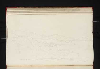
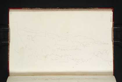
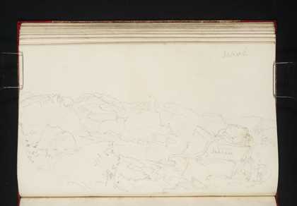
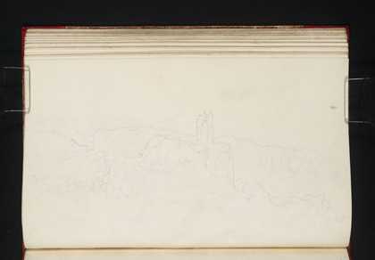
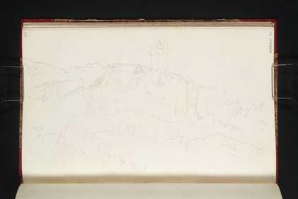
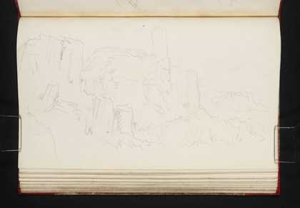
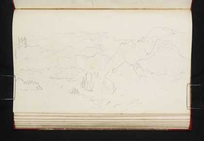
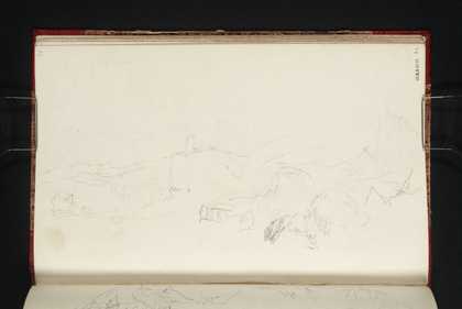
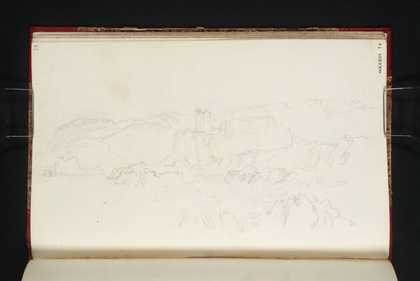
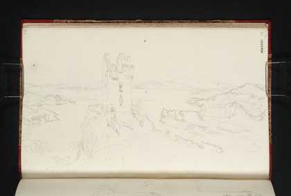
You might like Left Right Gylen Castle, Kerrera from the West Joseph Mallord William Turner 1831 Gylen Castle, Kerrera from the West Joseph Mallord William Turner 1831 Gylen Castle and Crags, Kerrera from the West Joseph Mallord William Turner 1831 Gylen Castle, Kerrera from the West Joseph Mallord William Turner 1831 Gylen Castle, Kerrera from the West Joseph Mallord William Turner 1831 Gylen Castle, Kerrera from the South-West Joseph Mallord William Turner 1831 Gylen Castle, Kerrera from the West Joseph Mallord William Turner 1831 Gylen Castle, Kerrera from the South Joseph Mallord William Turner 1831 Gylen Castle, Kerrera from the South Joseph Mallord William Turner 1831 Gylen Castle, Kerrera from the South-South-East Joseph Mallord William Turner 1831 Gylen Castle from the East-North-East, Kerrera Joseph Mallord William Turner 1831 Gylen Castle, Kerrera; and Glencoe Joseph Mallord William Turner 1831