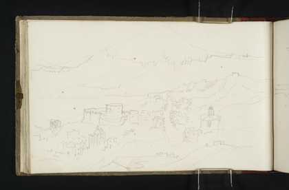
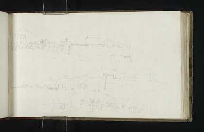
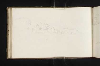
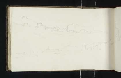
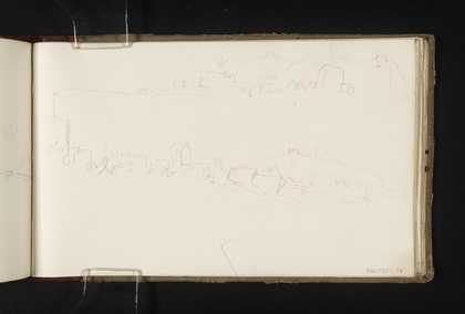
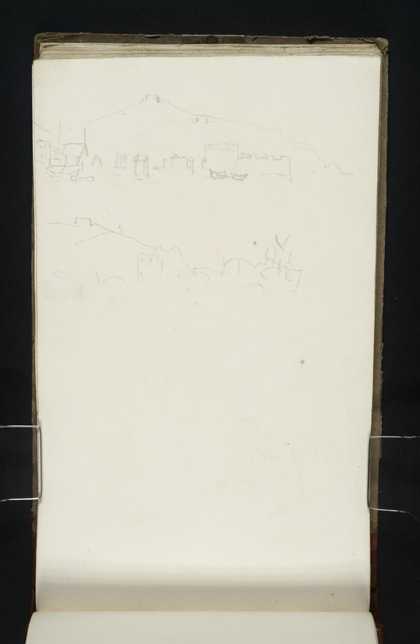
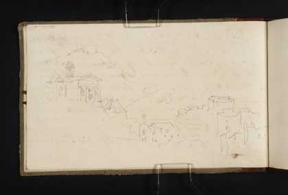
You might like Left Right A View of Sandgate, with the Castle and Episcopal Chapel Joseph Mallord William Turner c.1821–2 ?Sandgate Joseph Mallord William Turner c.1821–2 A View of Sandgate Castle, from Folkestone Joseph Mallord William Turner c.1821–2 Views of Sandgate and Folkestone Joseph Mallord William Turner c.1821–2 A View of Sandgate, Looking West Joseph Mallord William Turner c.1821–2 A View of Sandgate, Looking West Joseph Mallord William Turner c.1821–2 Sandgate Joseph Mallord William Turner c.1821–2 Sandgate Joseph Mallord William Turner c.1821–2 Views at Sandgate Joseph Mallord William Turner c.1821–2 On the Coast at Sandgate Joseph Mallord William Turner c.1821–2 ?Sandgate Joseph Mallord William Turner c.1821–2 Sandgate Castle and the Episcopal Chapel Joseph Mallord William Turner c.1821–2