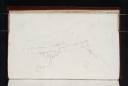
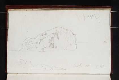
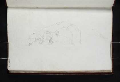
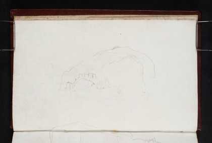
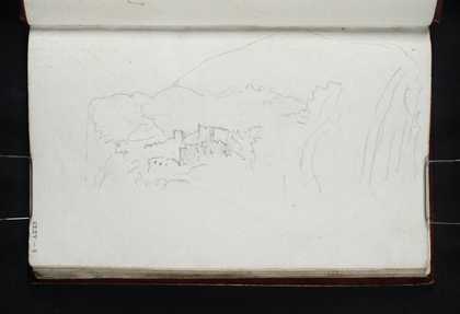
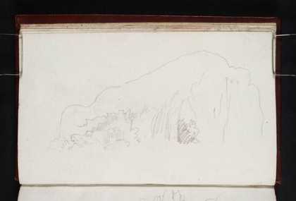
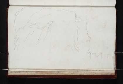
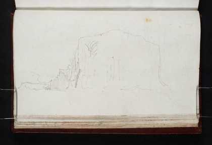
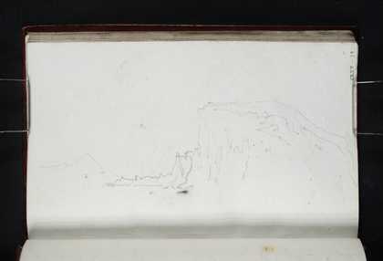
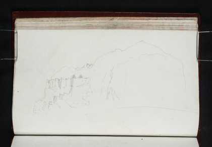
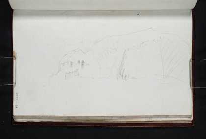
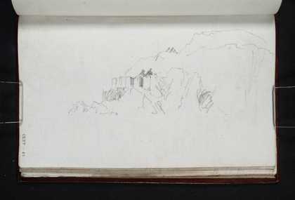
Catalogue entry
The identification of this sketch becomes clearer if it is compared with the sketch on its recto, and the following page (folios 7 and 8;
D13333,
D13335; CLXV 7, 8). All three are views of Bass Rock, sketched numerous times in 1818 and 1822 for an engraving to Scott’s
Provincial Antiquities:
Bass Rock, circa 1824, (watercolour, Lady Lever Art Gallery, Port Sunlight).
1 Folio 7 shows the whole of the rock from the south with the fifteenth century ruins and later additions roughly indicated. Folio 8 shows the fortifications more clearly as the viewpoint moves further round to the west and closer to the subject.
While the present sketch is rather rough, the outline of buildings becomes clear when it is compared to the other two. A step-shaped line runs from the buildings to the bottom of the rock. This indicates the route up to the fort from the East Landing, the only safe place to land. The way was apparently so steep that if recent arrivals came during the ebb tide, they had to ‘be either cranned [sic] up, or climb with hands and feet up some steps artificially made on the rock, and must have help besides of those who are on the top of the rock, who pull you up by the hand’.
2 The same structures can be seen in a sketch of rock made by Turner on his second visit in 1822 (Tate
D17646; Turner Bequest CC folio 79).
Thomas Ardill
October 2007
Read full Catalogue entry