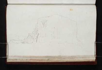
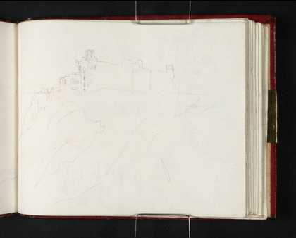
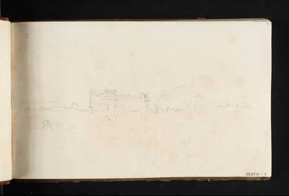
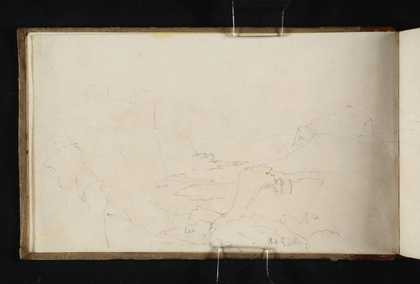
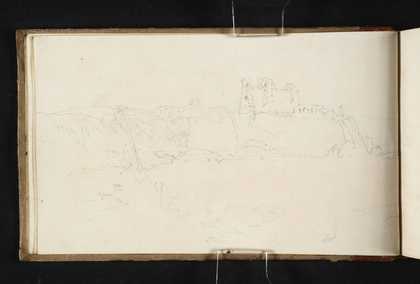
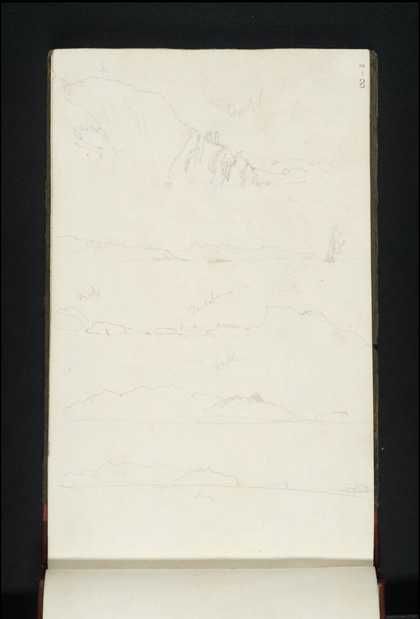
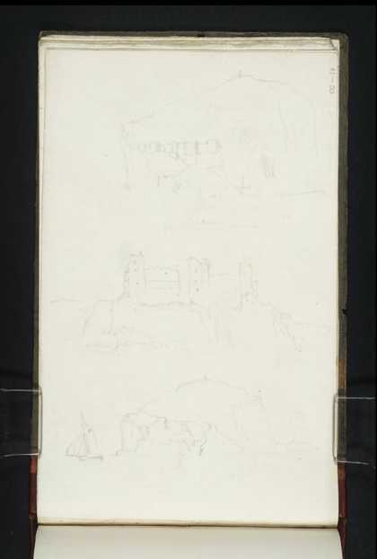
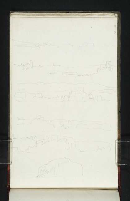
You might like Left Right Bass Rock Joseph Mallord William Turner 1818 Tantallon Castle and Bass Rock Joseph Mallord William Turner 1818 Tantallon Castle and Bass Rock Joseph Mallord William Turner 1818 Tantallon Castle and the Bass Rock Joseph Mallord William Turner 1818 Tantallon Castle and Bass Rock Joseph Mallord William Turner 1818 Tantallon Castle and Bass Rock Joseph Mallord William Turner 1818 Tantallon Castle and Bass Rock Joseph Mallord William Turner 1818 Tantallon Castle and Bass Rock from the East Joseph Mallord William Turner 1818 Sketches of the East Lothian Coast: Fast Castle, Bass Rock, Tantallon Castle, Criagleith and Lamb Joseph Mallord William Turner 1822 The Bass Rock and Tantallon Castle Joseph Mallord William Turner 1822 Tantallon Castle and The Bass Rock Joseph Mallord William Turner 1822 Tantallon Castle, Dunbar and Bass Rock Joseph Mallord William Turner 1822