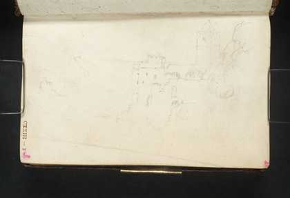
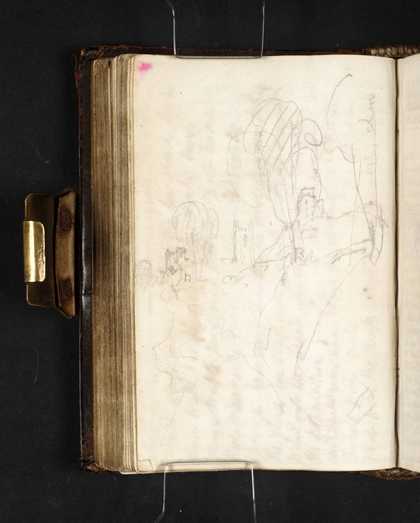
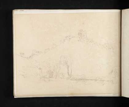
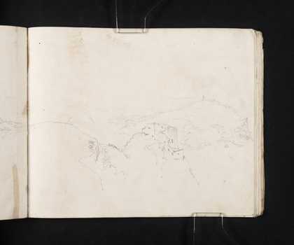
You might like Left Right The Dart Estuary, Dartmouth Castle and St Petrox’s Church Joseph Mallord William Turner 1811 Dartmouth Castle, St Petrox’s Church and Kingswear Castle Joseph Mallord William Turner 1811 Plympton Castle and St Maurice’s Church Joseph Mallord William Turner 1811 Corfe Castle: The Castle and Church from the North Joseph Mallord William Turner 1811 St Catherine’s Castle and Fowey Harbour Joseph Mallord William Turner 1811 Lydford Castle and St Petroc’s Church Joseph Mallord William Turner 1814 Lydford Castle and St Petroc’s Church Joseph Mallord William Turner 1814 Lydford Castle and St Petroc’s Church Joseph Mallord William Turner 1814 Lydford Castle and St Petroc’s Church Joseph Mallord William Turner 1814 Lydford Castle and St Petroc’s Church Joseph Mallord William Turner 1814 Launceston Castle and St Mary Magdalene’s Church from St Thomas’s Joseph Mallord William Turner 1814 Launceston Castle and St Mary Magdalene’s Church from St Stephen’s Hill Joseph Mallord William Turner 1814